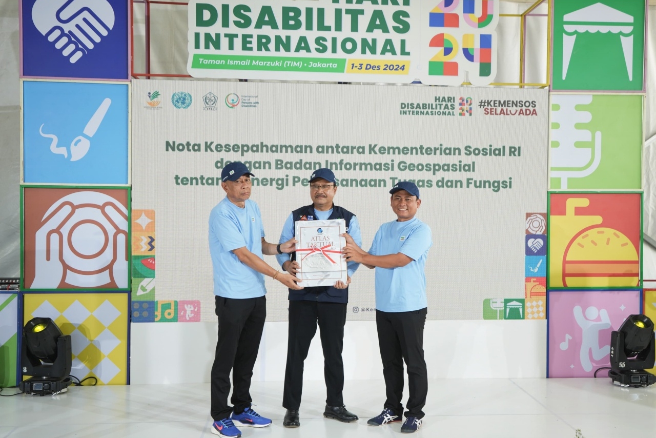
JAKARTA (4 November 2024) – Ministry of Social Affairs (MoSA) is collaborating with the Geospatial Information Agency (BIG) to strengthen the Integrated Social Welfare Data (DTKS) and the quick response system for social welfare management already implemented by MoSA. This partnership aims to accelerate the establishment of a unified, integrated data system to support the distribution of social assistance.
“The President has instructed us to consolidate and reconcile data to ensure the realization of the One Data concept,” said Gus Ipul, the familiar nickname of Minister of Social Affairs Saifullah Yusuf, during a meeting with BIG officials at the MoSA office in Jakarta on Monday (4/11/2024).
On the occasion, Gus Ipul also encouraged the integration of DTKS with geospatial data managed by BIG. This integration is critical, given the need for spatial data based on geographic coordinates and thematic maps to map the distribution of social assistance beneficiaries and address social issues across Indonesia.
“We already have DTKS, which can potentially be integrated with data from other agencies based on their specific fields, especially spatial data linked to location,” Gus Ipul explained.
The integration is essential to refine the social welfare management system that MoSA operates through DTKS and the Command Center, serving as a central hub for resource management.
BIG Chairman, Muh Aris Marfai, welcomed the initiative to integrate DTKS with BIG’s spatial data to support MoSA’s efforts in addressing social welfare issues.
“BIG is tasked with managing geospatial information on a national scale, which includes location-based data,” Aris said.
Aris noted that BIG has a variety of spatial data tools that are closely linked to poverty alleviation efforts.
“For poverty reduction, we have data that maps areas of extreme poverty. I believe the Center for Data and Information (Pusdatin) at MoSA also has similar data. We just need to synchronize it,” he added.
Responding to this, the Acting Head of Pusdatin, Gandhi Wijaya Cahyo Prajanto, stated that Pusdatin has been utilizing geospatial products from BIG.
“Pusdatin has been using digital data related to administrative boundaries and disaster maps,” Gandhi said.
He added that spatial data has been applied to disaster maps used in the Command Center, which operates 24 hours a day.
“The use of boundary layers on disaster maps enables us to identify disaster-prone areas and the affected regions down to the village level,” Gandhi elaborated.
At the same event, Vice Minister of Social Affairs, Agus Jabo Priyono, underlined the importance of increasing awareness about the megathrust earthquake threat that has been a significant concern in Indonesia.
“MoSA has two concepts for assistance distribution: Inclusive and Adaptive. The Inclusive concept must be properly mapped, while the Adaptive concept addresses issues like the megathrust. BMKG has frequently raised this issue, and I believe it is urgent to synergize efforts,” Agus emphasized.
He emphasized that MoSA, along with other institutions, must be at the forefront of providing assistance when disasters occur.
In addition to disaster-related spatial data, Pusdatin at MoSA has also enhanced its spatial data by integrating information on the distribution of social welfare resources potentially managed by MoSA.
“This data has been combined with our information, including the locations of social warehouses, logistics storage facilities, MoSA centers, and the positions of social resource personnel nearest to disaster sites,” Gandhi explained.
Using the Command Center system, MoSA can project the nearest assistance resources for areas affected by disasters.
“We also use spatial data in the SIKS-NG system for DTKS submissions by local governments or directly by the public. The administrative boundary layers provided by BIG ensure that individuals seeking social welfare assistance are correctly mapped to their actual village location,” Gandhi noted.
The integration of spatial data into DTKS ensures the accuracy and precision of social welfare data, enabling targeted and efficient support. This consolidated data is aligned with data from other government institutions to achieve a unified single data system.
“Conceptually, ministries and institutions are aligned on data integration. MoSA, in particular, requires spatial data to fulfill the President’s directive to ensure that assistance reaches the right targets. To achieve this, mapping and data clarity are critical,” emphasized Vice Minister Agus, reiterating the importance of the One Data concept for accurate assistance delivery.
To ensure the completeness of MoSA’s data, Gus Ipul instructed Pusdatin to promptly address technical issues in collaboration with BIG.
 Bahasa
 English


